By Sue Ryder Richardson
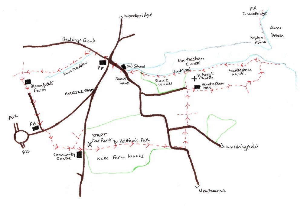
Map. OS Explorer 197. Map reference: 250462
What3Words: ///widget.depending.sourcing
Distance: 5.25 miles
Refreshments: The Red Lion and Black Tiles, Martlesham
Whatever the season this walk is beautiful. On a cold winter’s day when there is a crispness to the air, the marsh can prickle with frost and the river, with its mud ridges and shallows, has a sharp clarity. The air echoes with the cries of birds, and waders impervious to the temperature, strut and pick at the banks. This time we walked in late summer and Walk Farm Woods at the outset offered welcome shade as we wandered through its chiaroscuro of light. Too early for mushrooms, or the turning of deciduous leaf, but both poised to promise autumnal glory in the weeks to come.
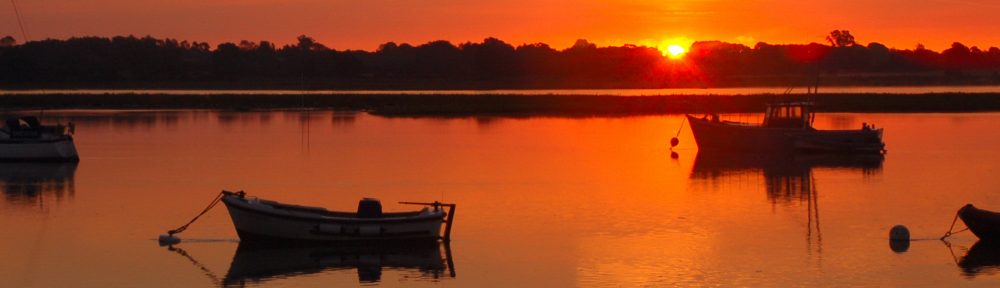
Over the Saltings
It is easy to park in the small pull-in car park, and despite its proximity to large conurbations, the myriad paths through the woods are surprisingly empty. A few dog walkers pass the time of day, but otherwise this is a peaceful stroll through woodland and heath, field and river walls. We watched birdlife, the shy movement of a herd of deer, an egret as it pecked at river mud, and flew ahead to perch in a branch and watch. Delightful.
From the car park go through the gate and take the Sandlings Walk straight ahead marked as Dr Brittain’s Path. The light is dappled. In a month or two the wood will be filled with the lovely scent of damp autumn leaves, mushrooms and fungi, and light will fall through the coloured patchwork of the canopy. Keep to the wide path ignoring all the small, tempting side routes, and on reaching a road continue ahead for a short distance towards the sharp right corner. It is possible to walk inside the field boundary rather than in the road at this point.
At the corner take the footpath left, signed Sandlings Walk. Keep ahead to reach another lane and make a short right and then left onto another footpath. Keep ahead at the first cross path towards Martlesham Church. The route takes a right turn at Martlesham Hall, but we diverted to visit the St Mary’s Church (keep on the track and then right through the church gate). The church houses one of the county’s largest collections of Arts and Crafts glass depicting a selection of parables. Pictures on the website look wonderful and I was really looking forward to seeing these together with the medieval wall painting of St Christopher and 15C font, however, the church was locked. Phone calls to the numbers in the porch provided no response. If anyone is intent paying a visit it might be wise to call the vicar ahead of time.
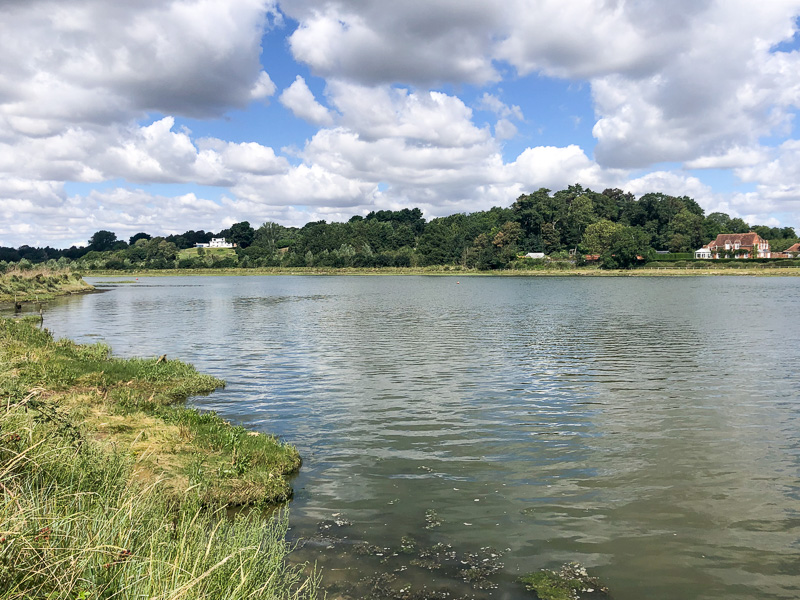
 View from Martlesham Church
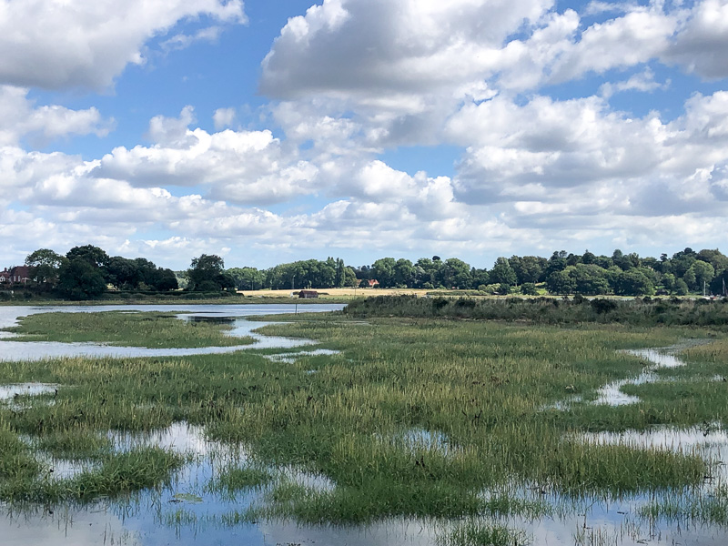
The path up to the church, did however provide the most glorious view over Martlesham Creek. The imposing position of St Mary’s church, high on the river bluff, was one once utilised by Saxon Traders, who established a beacon here on the site of an earlier church, the relics of which have long since vanished.
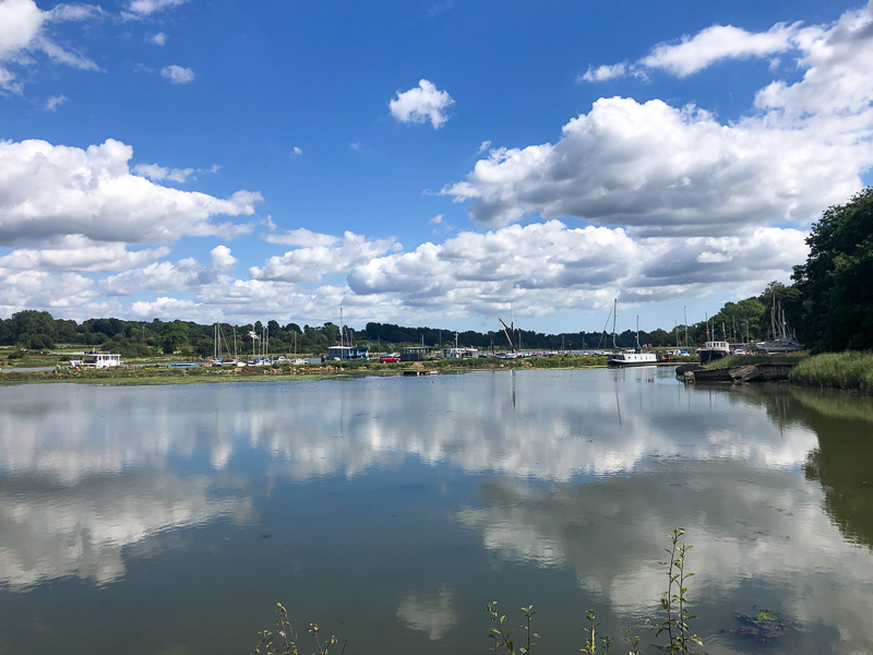
Kyson Point
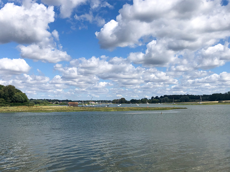
View up the Deben towards the Tide Mill
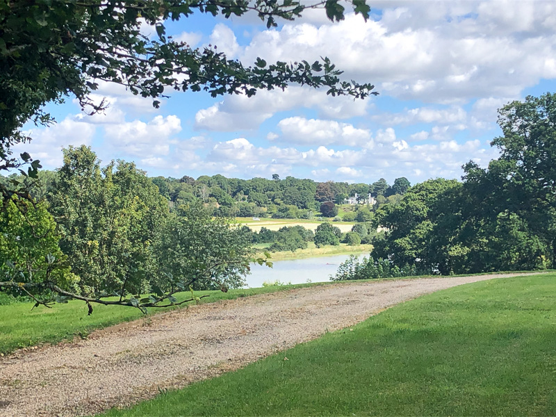
Returning to the walk. From Martlesham Hall taking a right and left as signed, to reach the broad path down to Martlesham Wilds. (www.suffolkwildlifetrust.org/martlesham-wilds) Follow the path down towards the river, keeping to the field boundary to reach the bank of the Deben, turn left and cross some delightful marshland until reaching the river wall, where short steep steps climb up to the river path opposite Kyson Point. If carrying a flask, this is the place to stop for a coffee. The water from the small Martlesham Creek meanders between mud flats to reach the Deben. Birds fly overhead, or wade, pecking at worms and shellfish in the shallows. Small yachts tack upstream on the tide. The sun catches the white of the distant Tide Mill. It is a peaceful scene broadly unchanged for centuries — although the boats may have less commercial purpose, and the houses are certainly grander.
Turn left along the river wall to follow Martlesham Creek upstream on a path meandering through reed beds. Continue through a field and turn right at a ‘T’ junction of paths back towards the river wall. Keep ahead through the boatyard, clearly marked by footpath signs, and into a small copse. On reaching a broad footpath turn left and immediately right through woodland.
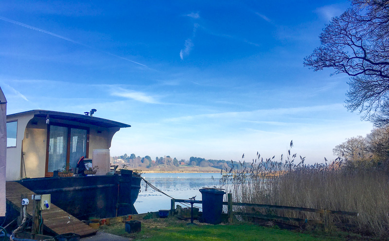
Martlesham Creek Boat Yard
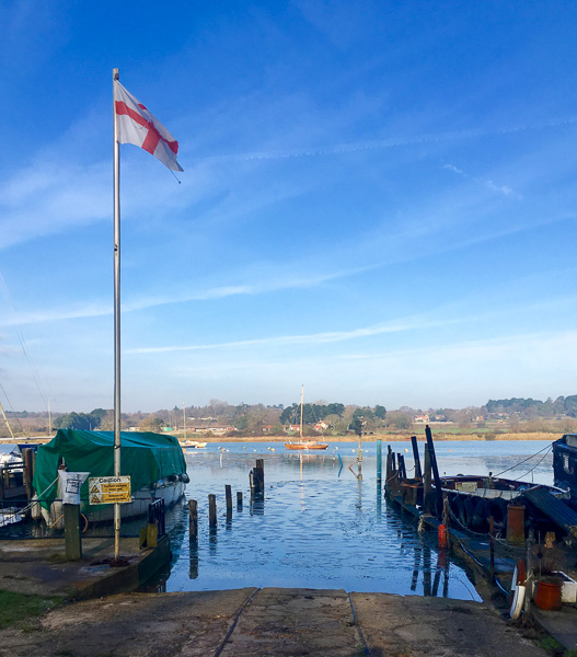
Martlesham Creek Boat Yard
View back towards the Boat Yard
At the School Lane, turn right and cross the main road to Bealings Lane beside the Red Lion PH. After a few hundred years take the left footpath just over a small bridge. This rises gently through Run Meadow alongside a small tributary to the River Fynn. It is a beautiful spot of light woodland, abundant with wildflowers following a clear stream full of watercress. Pass over meadows and through several metal gates, then on reaching the cross paths, at another metal gate, turn left uphill towards houses and Bloomfields Farm. Pass through the farmyard and various new builds, on up the drive to reach the road. Keep ahead on the pavement past the Black Tiles PH. Cross over the main road onto the marked footpath through trees, bearing very slightly right as the paths diverge.
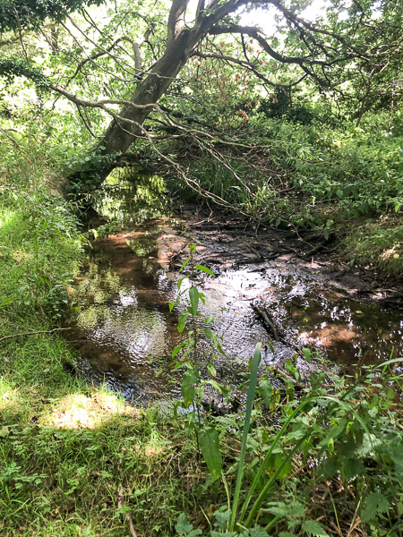
The stream at Run Meadow
Follow this path onto common land – another lovely area, unspoilt despite its proximity to large housing estates. Keep to the left as the path curves behind housing, then right at the Sandlings Walk sign to pass behind the Community Centre car park and reach the road. The starting point car park is opposite.
Sue Ryder Richardson
Born in Suffolk, I have a great love for a county that I have explored on foot for as long as I can remember. Slow travel lets me enjoy the landscape; savour its history, flora and fauna. After many years of the London commute, it is such a pleasure to be able to write walks for publication, as well other pieces. Currently I’m interested in the future development of the ‘Slow Ways’ initiative. https://slowways.uk/