By Janet Harber
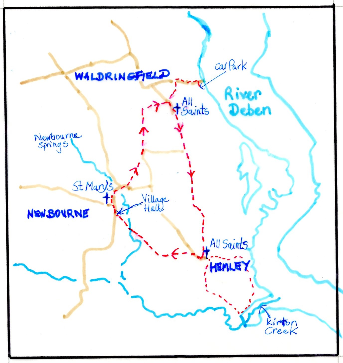
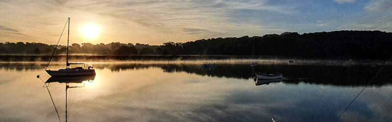
We did this 4.5-mile circular walk in late March 2025, starting and finishing at the pay and display car park behind the Maybush Inn, Waldringfield (parking is free for patrons). We went clockwise but it can be done either way and from other starting points. OS Explorer 197 Ipswich, Felixstowe and Harwich is the relevant map.
The route links All Saints Waldringfield with All Saints Hemley and St Mary’s Newbourne churches, each of which is fully described by Gareth Thomas in his RDA Journal series Churches of the Deben: Part 3B. The River Deben was nearer to all three of these churches when they were originally built as the sea walls had not then been made. The building materials would have come by water.
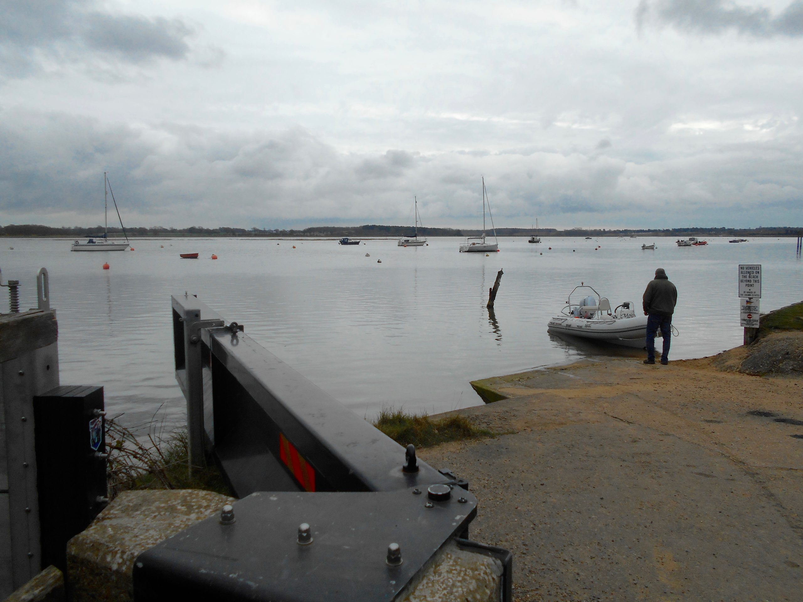
Waldringfield Hard
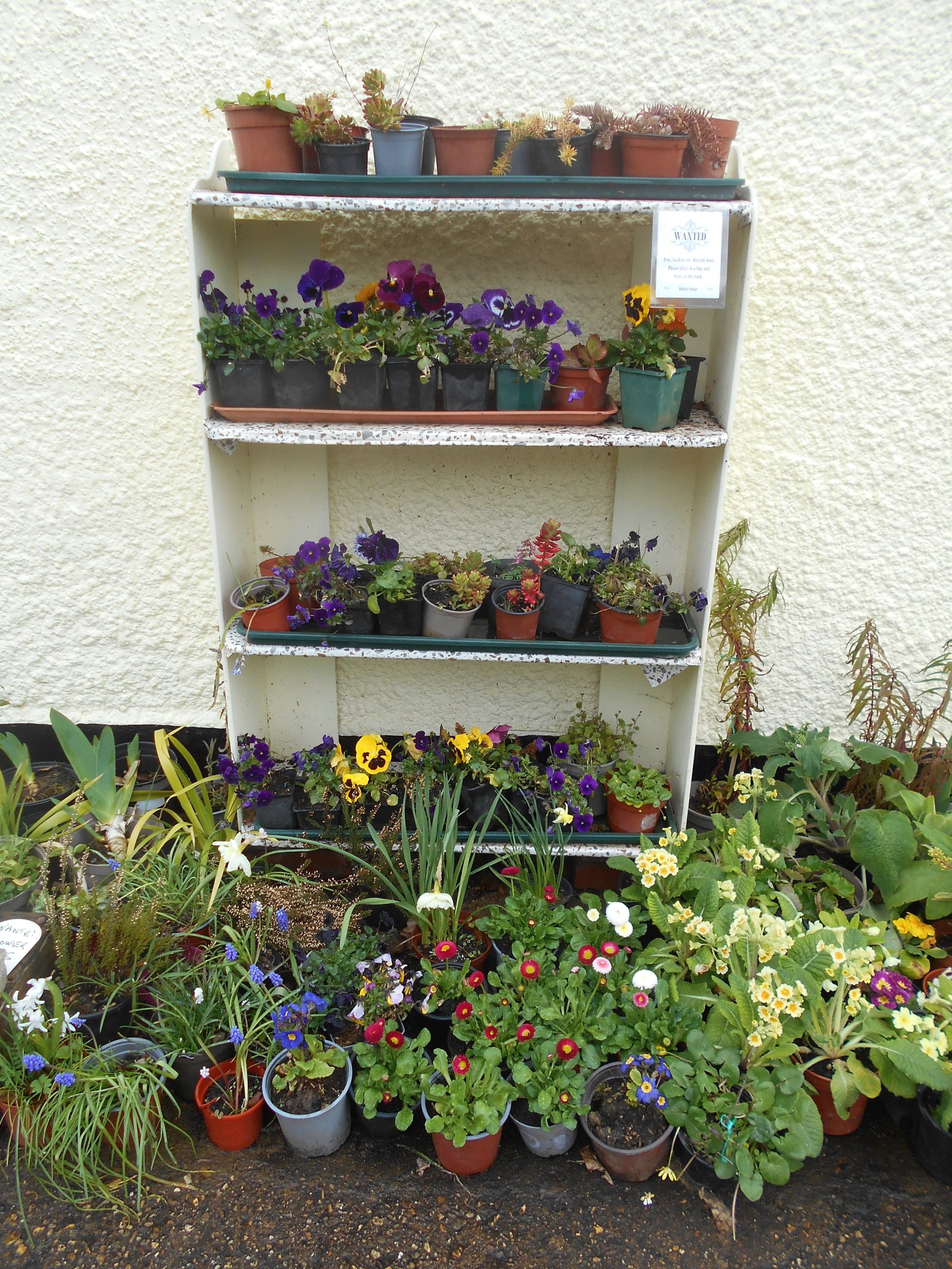
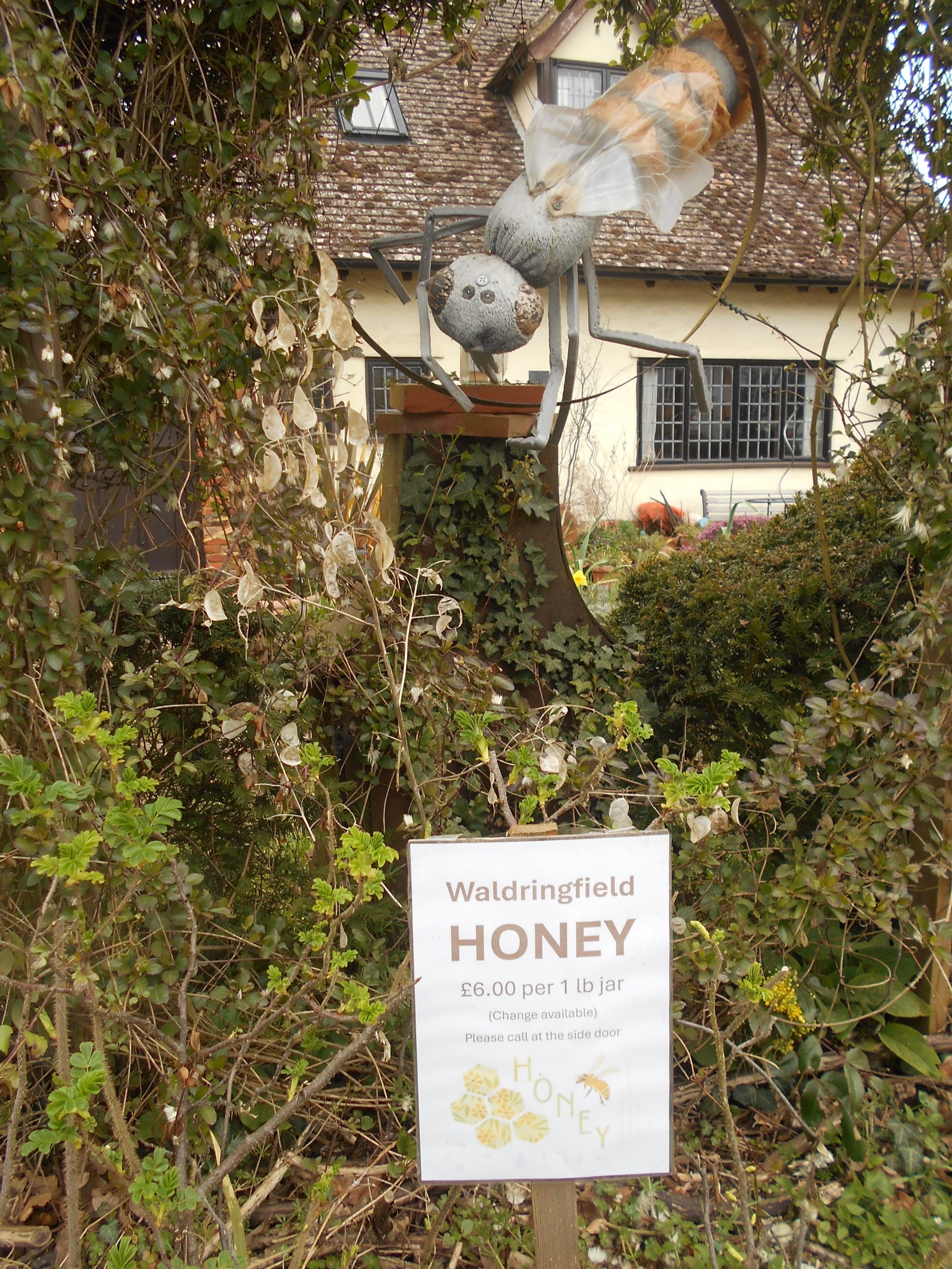
Plants and honey for sale, Waldringfield
After an obligatory look at the boatyard and foreshore, walk back up into the village, passing veg, plants and honey stalls outside cottages, and look for the second Footpath on the left. This takes you between the houses and then diagonally across a field (potatoes when we walked it). On the far side, go through the play area and join the lane to All Saints Waldringfield. Inside the church connections to the river and the sea include a kneeler with a Thames barge woven in and a collection box asking for ‘help to keep us afloat’. From the graveyard to the east there are glimpses of the river not far away.
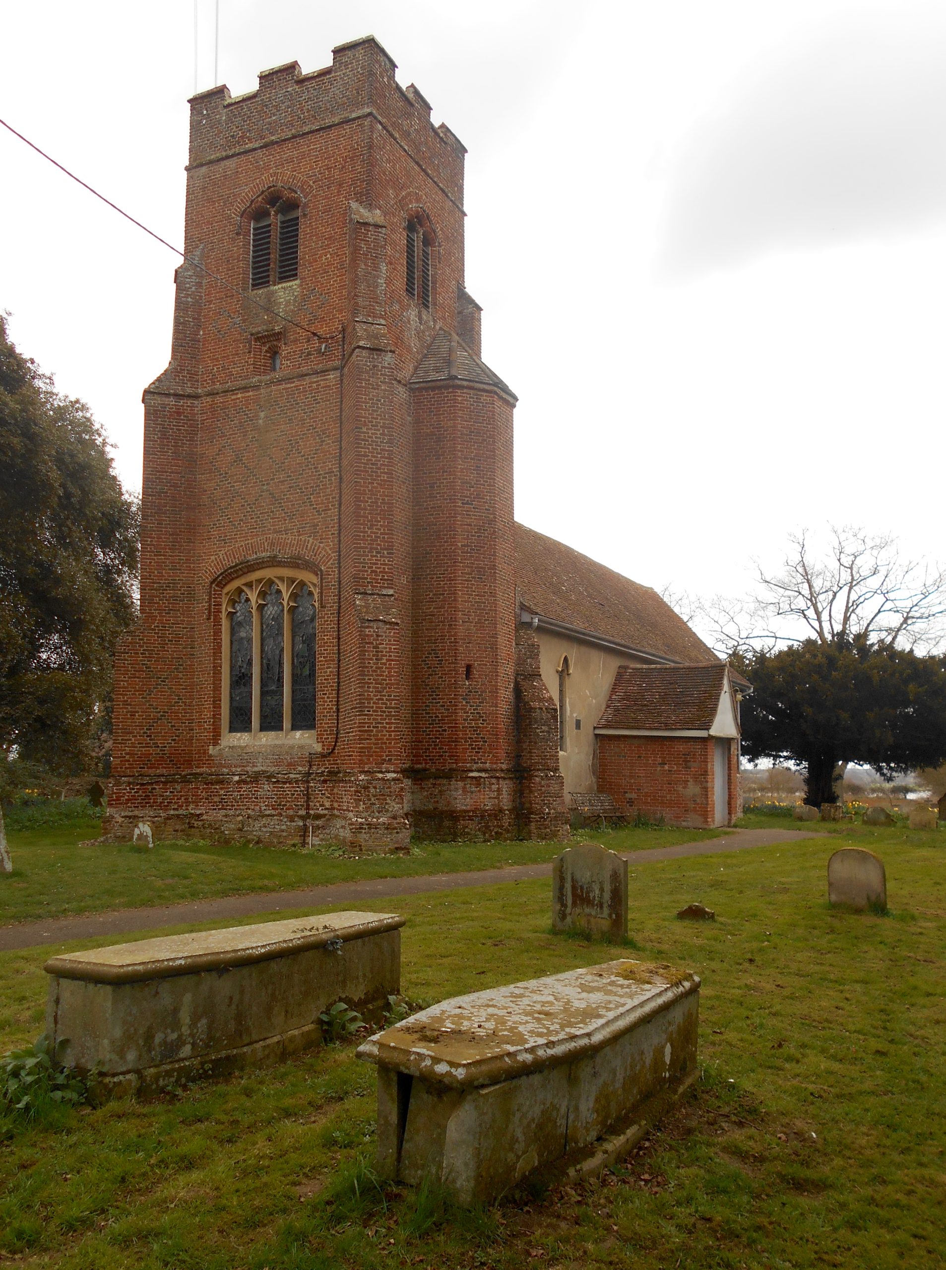
Waldringfield Church

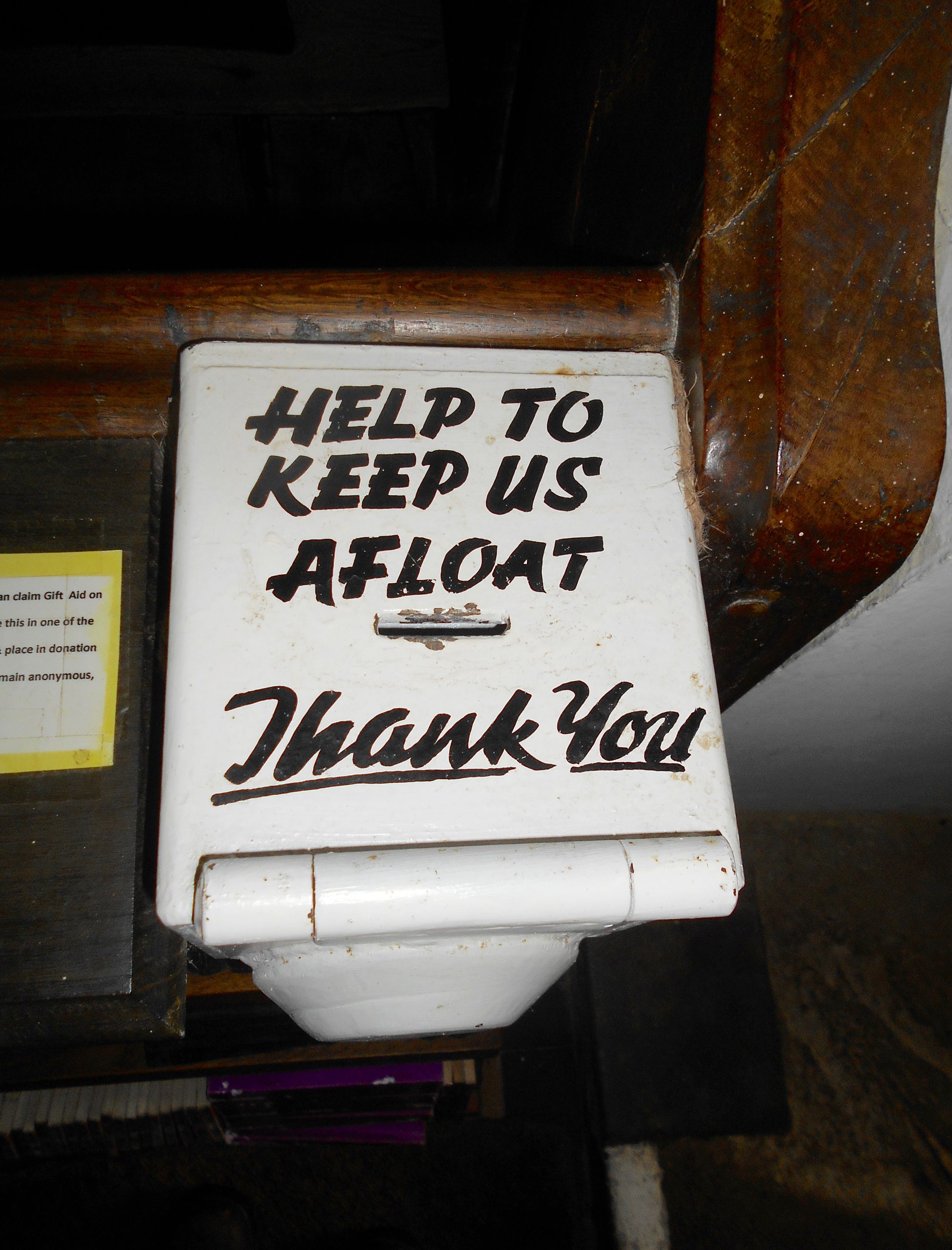
Waldringfield Church kneeler and donation box
Continue south down the single-track lane which, after about half a mile, becomes a Bridleway on its way to Hemley Hall and then the hamlet of Hemley. On the left, through the shelter belt of Scots pines, there are distant views of the river. Part of the bridleway is concreted and here we saw a pony and cart out for a spin. Beyond Hemley Hall the route becomes a single-track lane again before arriving at a T-junction with the peaceful and remote church of All Saints on the left.
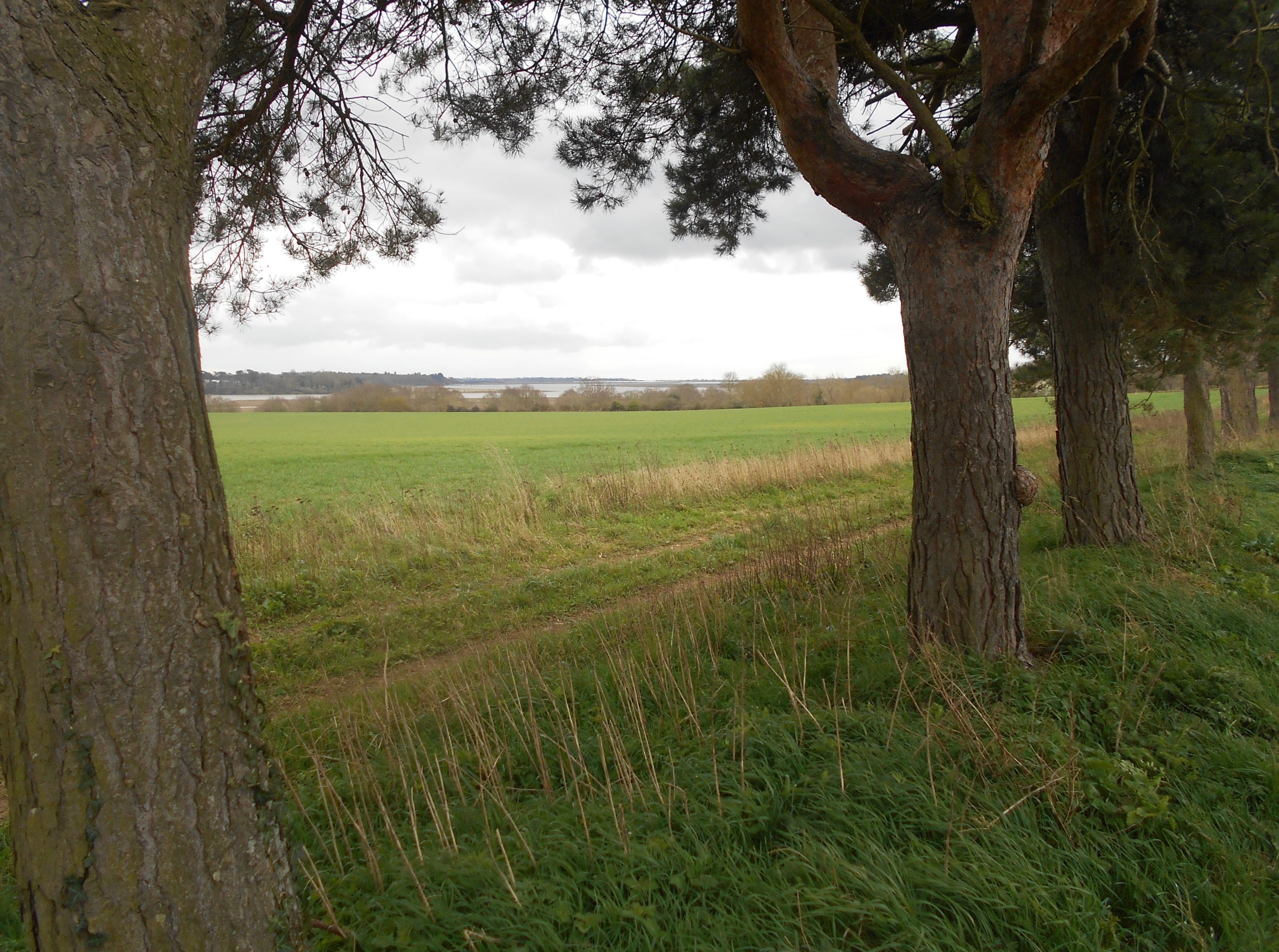
The bridleway ‘twixt Waldringfield to Hemley, River Deben in the distance
In 1852 Thomas Waller was the first in a four-generation dynasty of local rectors. John Waller, the last of the four, died in 2013 and is buried in Hemley churchyard with the epitaph ‘A Man of the People’. His boat Jesus, moored at Waldringfield, was a familiar sight on the Deben for many years.
Hemley Church
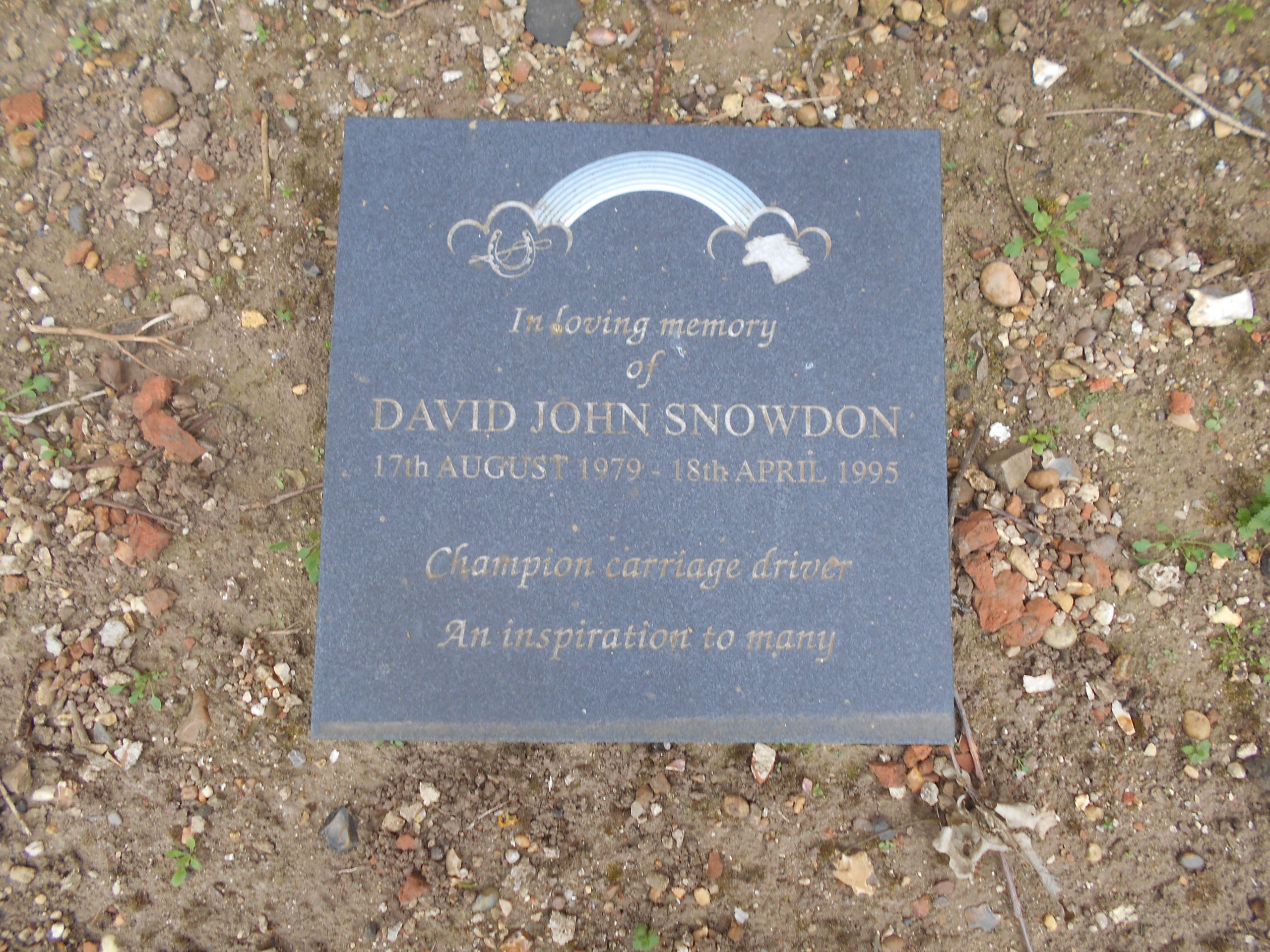
Memorial in Hemley Churchyard
East of the church there are Footpaths that take in the river wall and Kirton Creek, an extra loop to the route if desired. Leaving the church, walk up the lane past Church Farm, where the cottages have some well-tended gardens, and fork left onto a Footpath signed to Newbourne. Follow this track, with open fields on either side, and bear right alongside Ranglins Wood. Drop down through grazing meadows, entered via a couple of gates, to Puddingpokes, a marshy area with a stream fed by the Newbourne Springs.
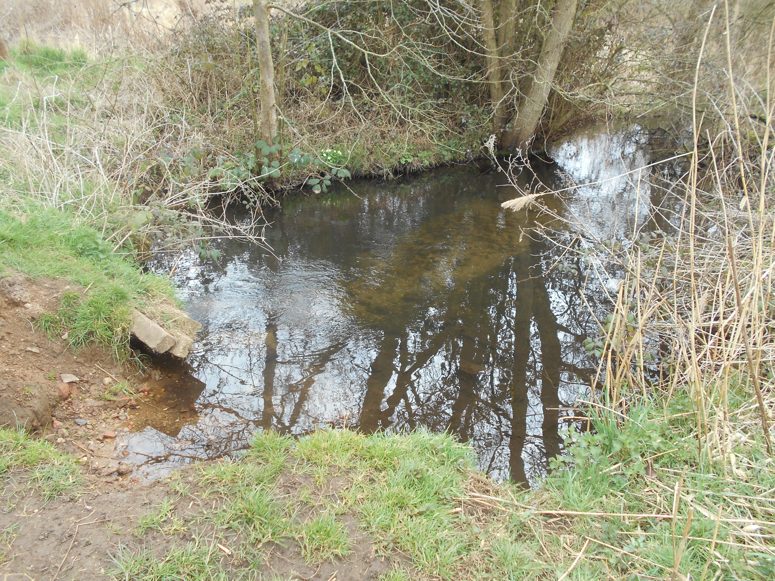
Newbourne Springs stream in Puddingpokes before flowing on into Kirton Creek
This stream used to be the water source for Felixstowe, supplied via a pumping station until 1970 when Alton Water was opened. The stream joins the Mill River, fed by Brightwell Springs, and eventually runs into the Deben via Kirton Creek.
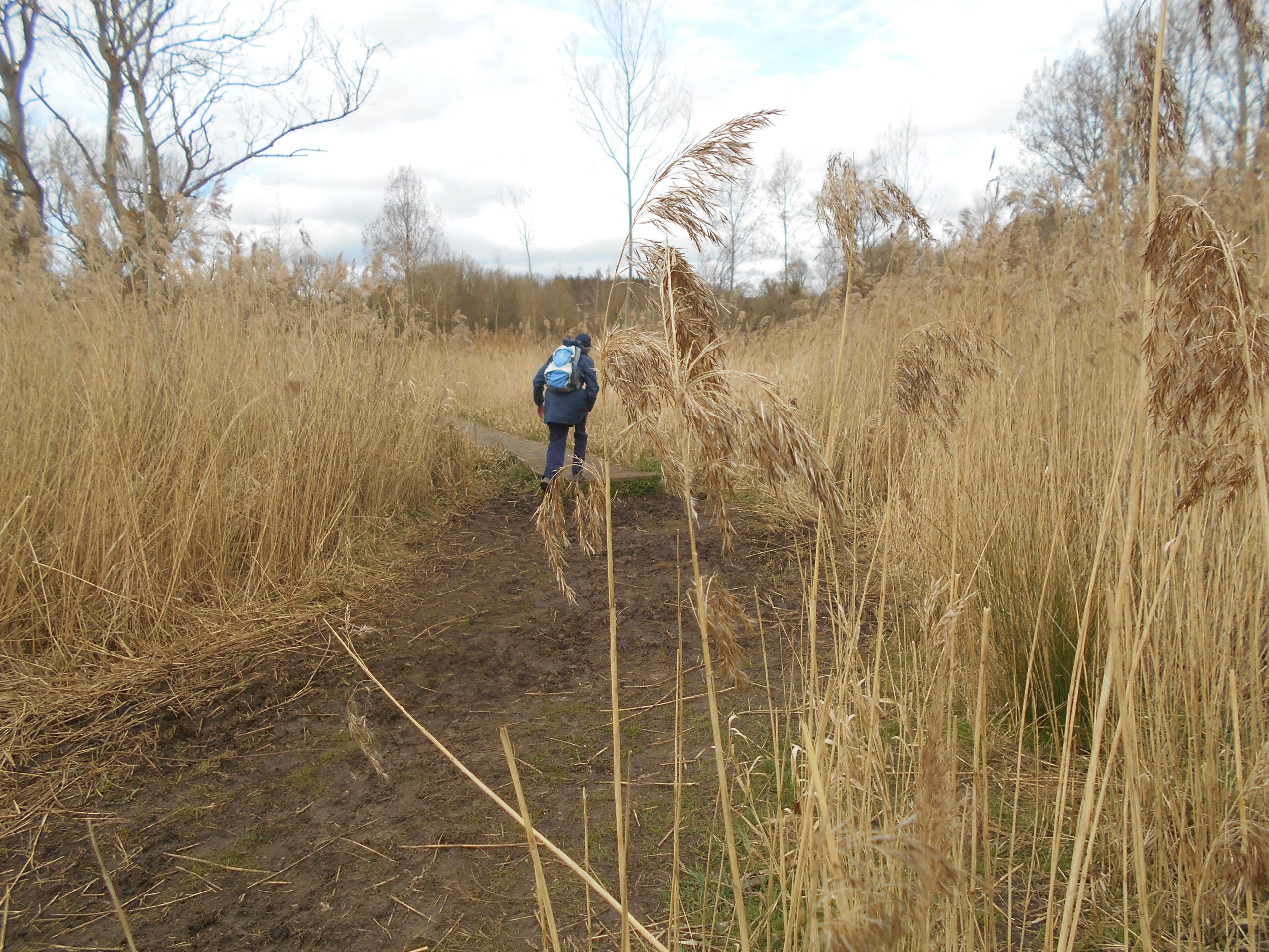
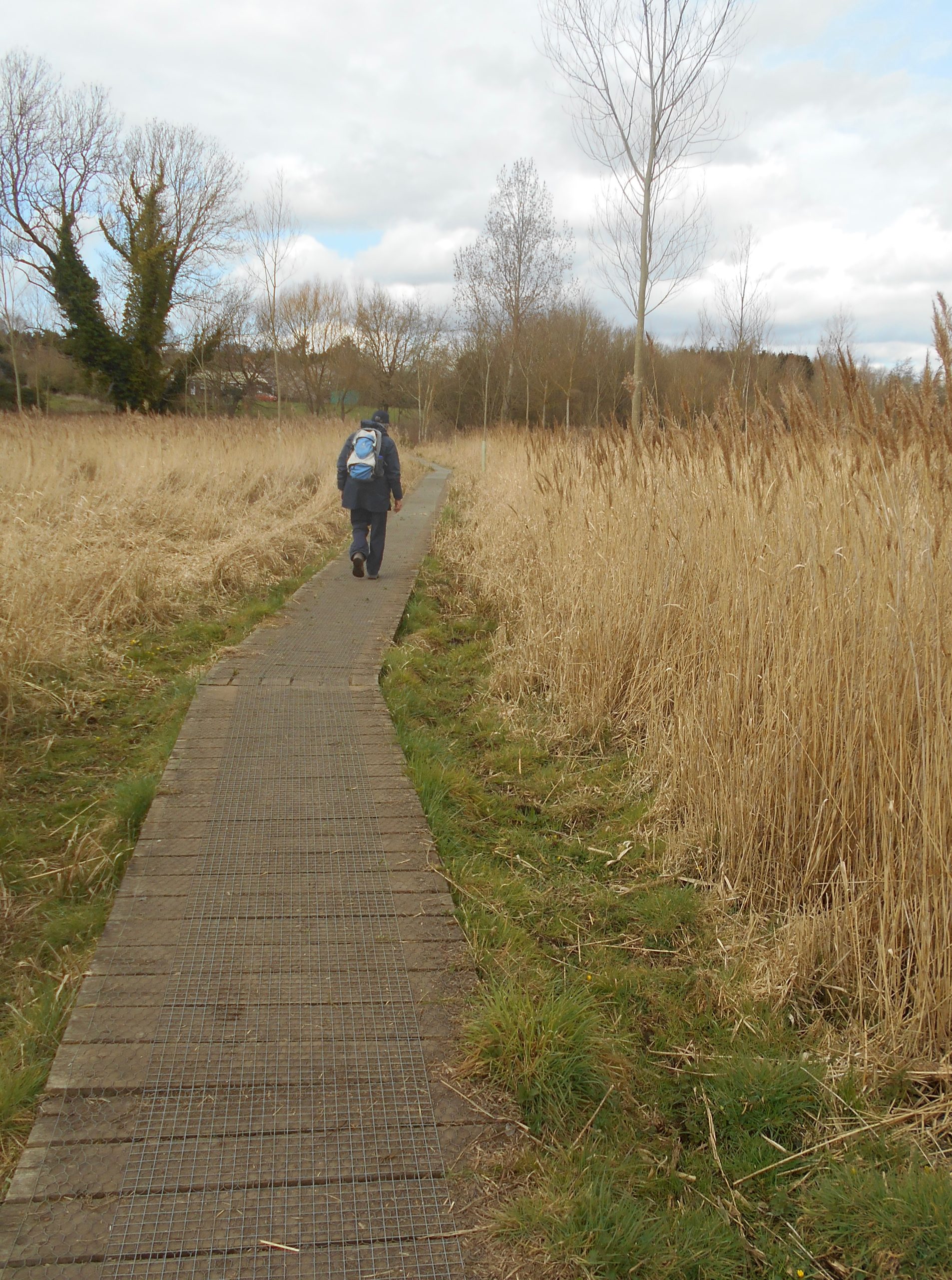
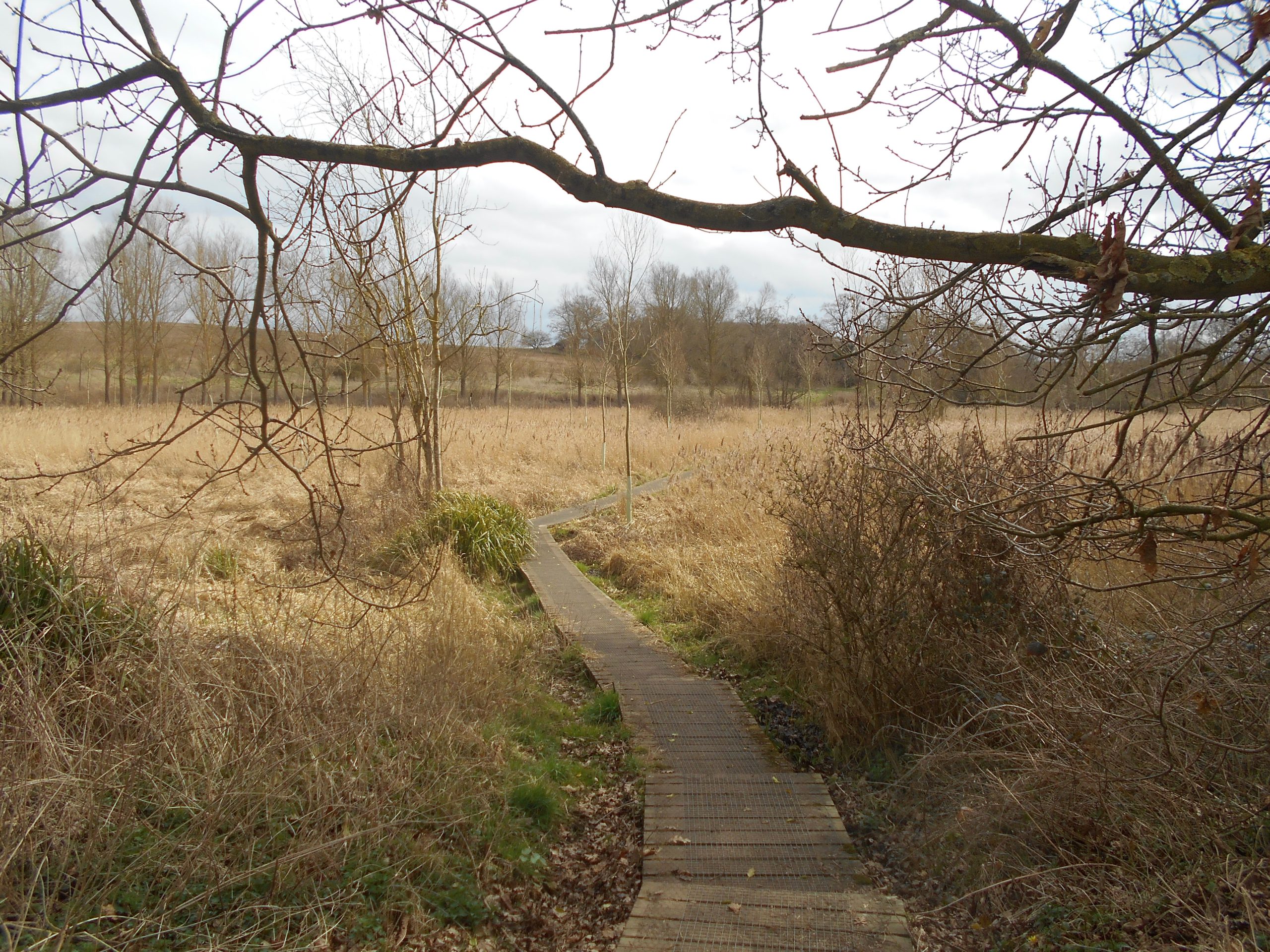
Footpath through Puddingpokes reed beds
This part of the walk was fairly dry when we did it but it can often be wet and muddy so watch the forecast and be ready with waterproof footwear. The Newbourne end has a boardwalk that winds through the reed beds until emerging at the edge of the playing field behind the village hall. This would be an alternative place to start and finish the walk, the parking is free and there are handy seats around to sit for sandwiches or to change your boots.
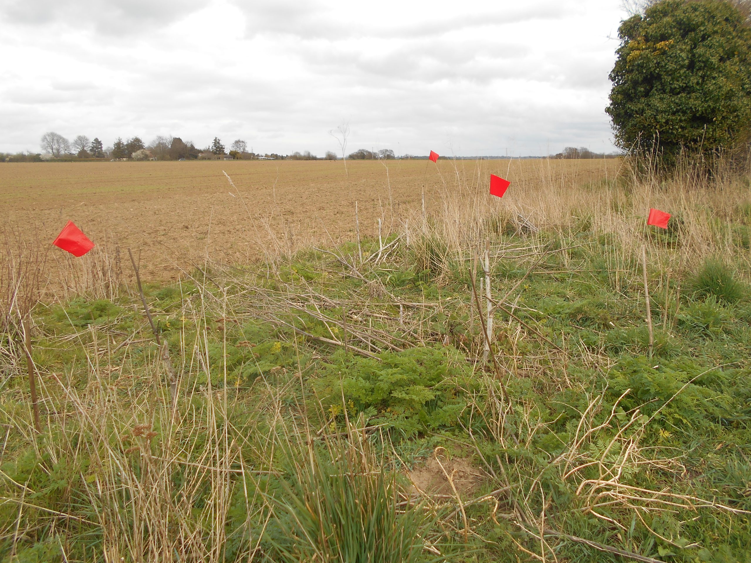
Mysterious flags on the way to Newbourne, just outside Hemley towards Reddenpit Hill
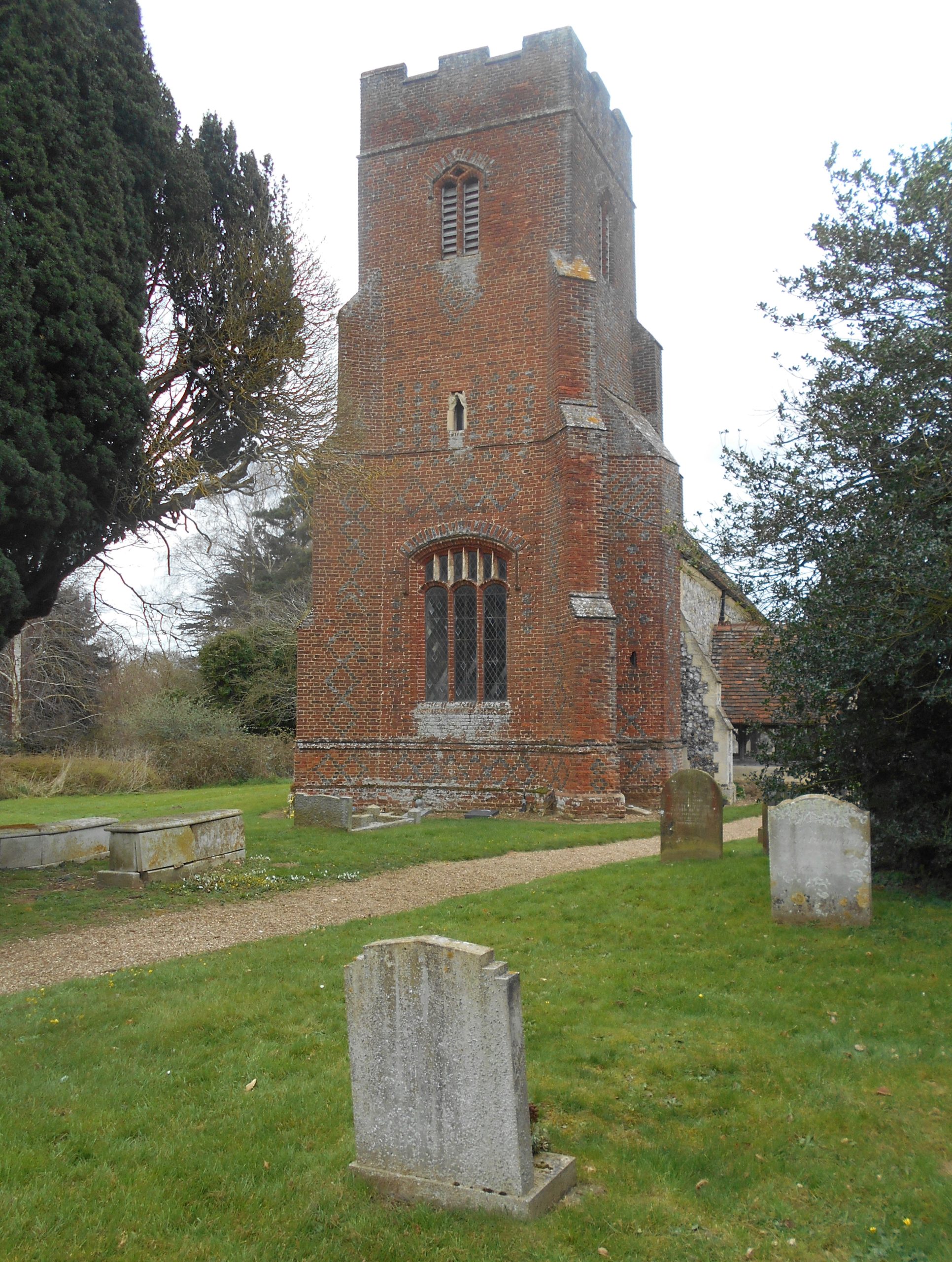
Turn right beside the hall onto the road and follow round to the church of St Mary, whose tower is flint-built, unlike Waldringfield and Hemley which are built of red brick. Several members of the Page family have headstones in the graveyard, including the Newbourne Giants, George (7ft 7in) and Meadows (7ft 4in). Originally Victorian agricultural labourers, the two brothers found more lucratrive employment in a travelling circus, fayres and country shows.
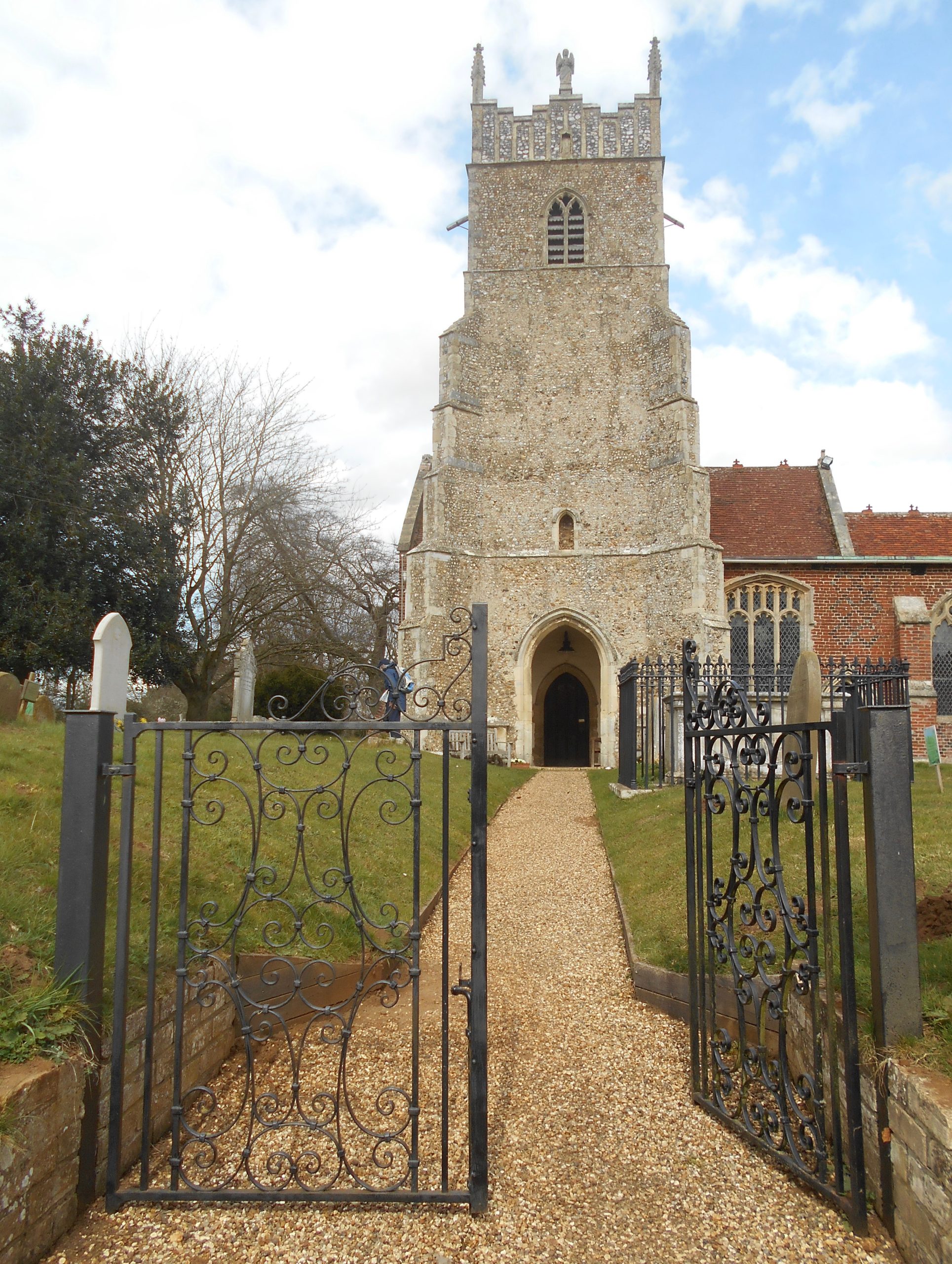
Newbourne Church
The once small population of Newbourne was considerably enlarged by the 1934 Utopian Land Settlement Association. They used the village in an experiment to give unemployed men from the North East mining community agricultural training and provide them with small-holdings. The extensive network of glasshouses can still be seen on the OS map and some nurseries and roadside stall remain.
Leave the church and keep left along the street past the very popular Fox Inn and then The Giants’ Cottage on the left. At the next left turn is the small car park for Newbourne Springs Nature Reserve run by Suffolk Wildlife, well worth a visit but perhaps not on this walk. So carry on a little further along the road, which often has water from the springs running down it, before taking the next Footpath on the left.
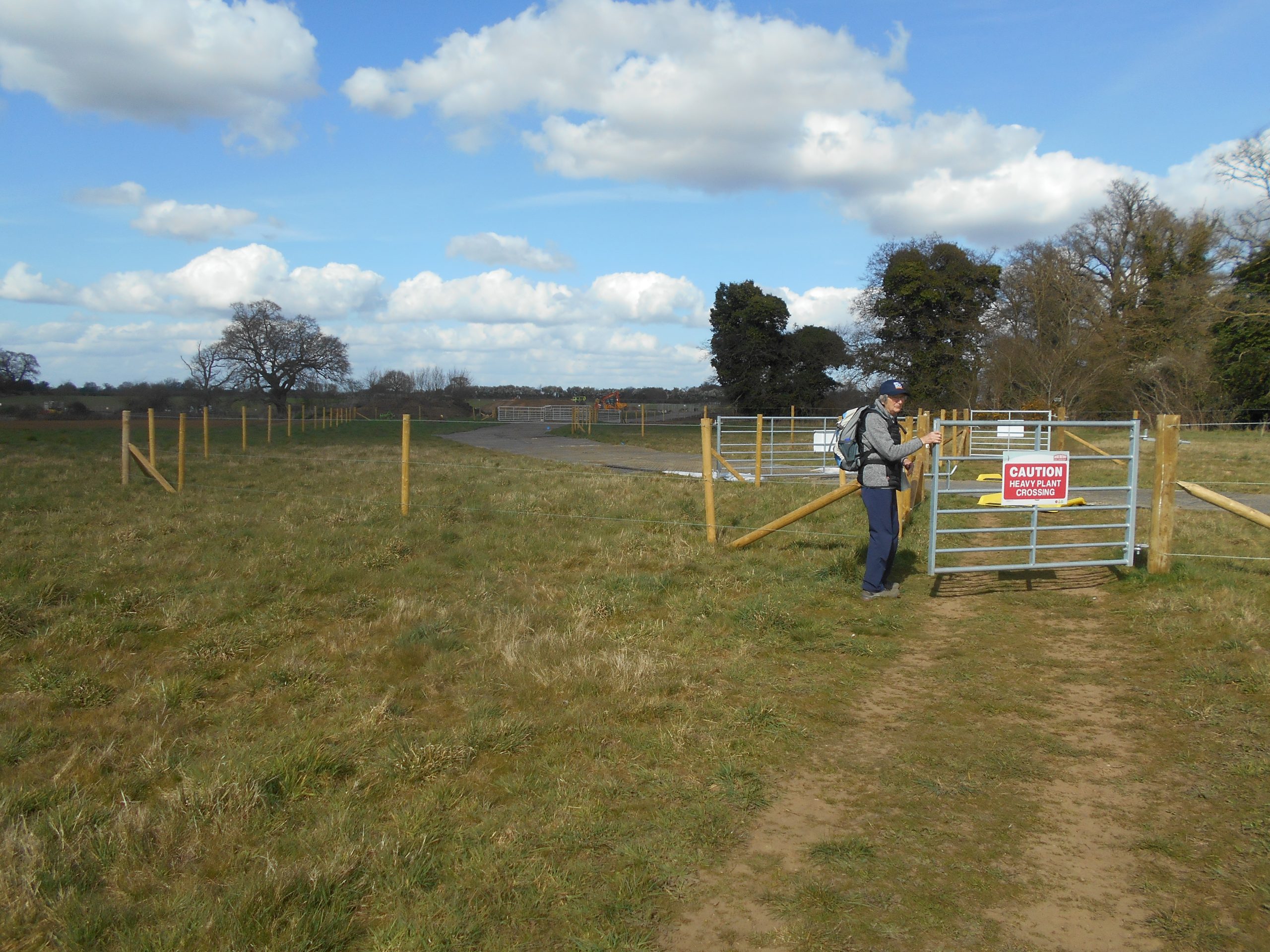
Reservoir construction work near Waldringfield
The path has steps which climb surprisingly steeply through a wooded area and emerge eventually onto a large grassy field. Head for a set of gates and fencing, cross the new reservoir contractor’s track and come out at a bend on the Hemley to Waldringfield road. Turn left briefly onto the road and leave it at the next bend to continue northward on the Footpath, straight ahead across a couple of big arable fields towards Waldringfield.
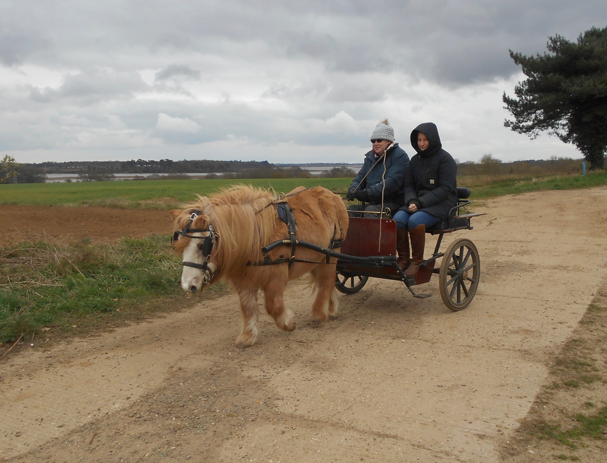
Driving from Hemley towards Waldringfield
On nearing the village take the Footpath on the right, cross the next lane, over the green and across the field, retracing your steps back to the car park.
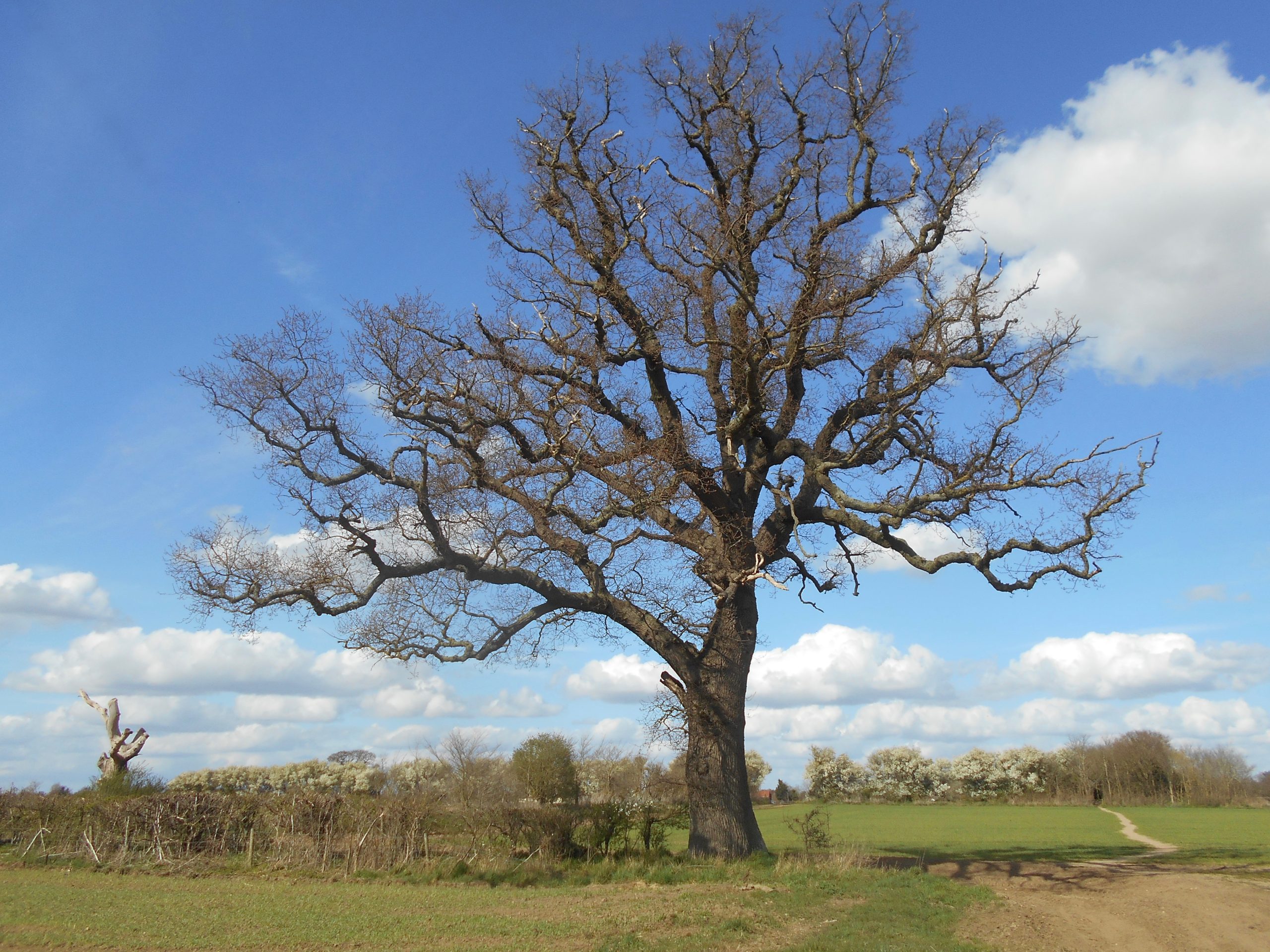
Oak tree beside footpath towards Waldringfield

Janet Harber
Janet Harber is the daughter of Jack Coote, known to many as the author of East Coast Rivers, which Jan took on after his death. She is an RDA member.