by Robin Whittle
Low tide adjacent to Sutton marshes
The Deben became tidal at Felixstowe Ferry about 6000 years ago. Today the river is tidal up to Ufford, two miles upstream of Woodbridge. During this period sea borne sediment has built up the saltmarsh in the lower reaches to a depth of 12m.
Over the last 500 years river walls of mud and clay have been built along both sides of the tidal estuary to create arable land and grazing marshes. Since then, sediment has continued to build up the saltmarshes and mud flats lying in front of the river walls. However, saltmarsh is now under increasing attack from wave action and shore crab burrowing.
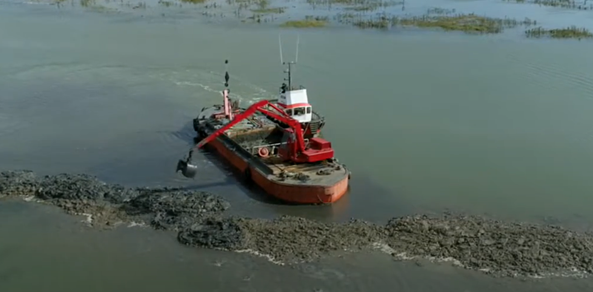
Tam Grundy dredging
This note examines the stretch of river between Woodbridge and Waldringfield. Some of the saltmarsh has existed since before the walls were built and some has been created by the reduced tidal flow caused by the construction of the river walls.
The sediment is brought into the river from the sea with the flood tide, currently at a rate of 72,800m3/year (see Sedimentation in the Deben Estuary.pdf). The change in the mud levels between Methersgate and Kyson Point has been calculated using the information from surveys carried out for the Kyson Fairway Committee. Three separate surveys were carried out in 2007, 2012 and 2019. Sedimentation and erosion have taken place in different parts of the mud flat depending on a number of factors such as flow rate, fetch and bends. The increase in the mean overall depth of mud has been calculated to be 12mm/year (see Figure 1 at the end of the article).
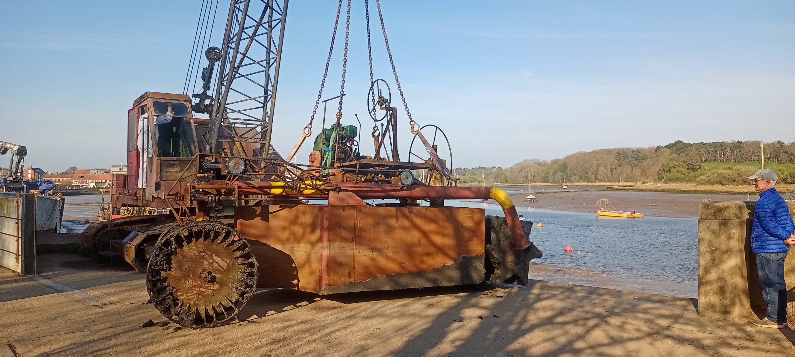
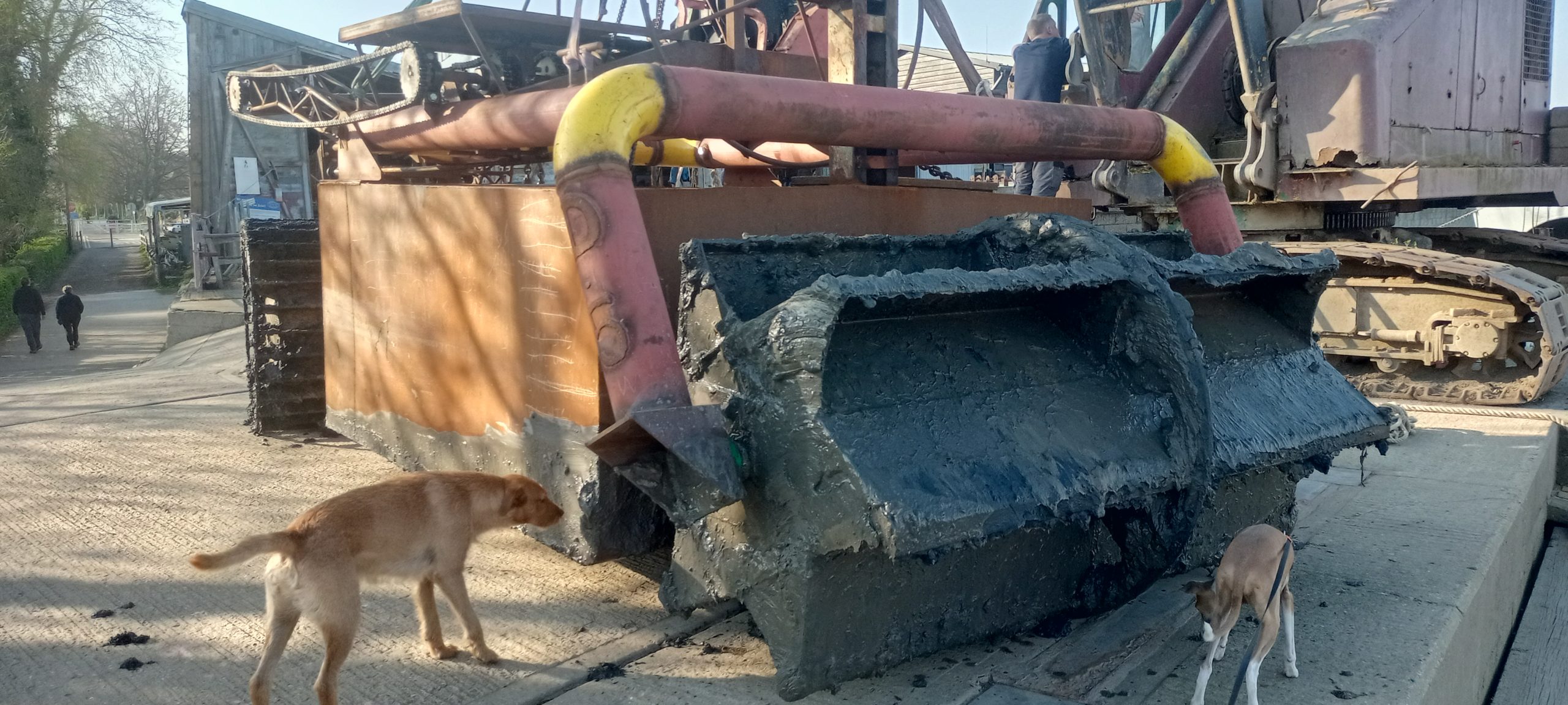
A dredging machine at Woodbridge Boatyard
The Saltmarsh Research Group of the River Deben Association has been monitoring the saltmarsh at Waldringfield and Loder’s Cut Island over the past seven years (see saltmarsh-research-on-the-river-deben-v17.pdf). The saltmarsh at Waldringfield is mature and has been rising at about 3mm/year during the period of measurements. The saltmarsh at Loder’s Cut Island is quite young and has been rising at a rate of about 6mm/year since 2014. Overall, the rise has been following the Mean High Water Springs sea level rise for this part of the country of 3.5mm/year, as would be expected.
The edges of the saltmarsh along the river channel have been eroding at a rate of 85mm/year during the period of measurement. This has been caused by wave action and crab burrowing. The channels within the heart of the saltmarsh have been eroding at about 20mm/year mainly caused by crab burrowing.
Figure 1 shows diagrammatically how the sediment has been building up over time. It also shows how the edges of the saltmarsh have been eroding.
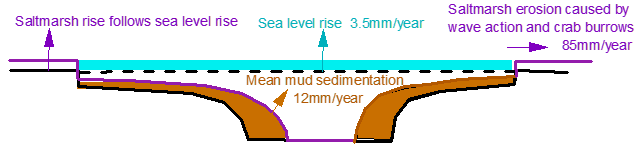
Figure 1: Approximate behaviour of the Deben banks (Methersgate to Tide Mill)
Robin Whittle
Robin Whittle is a civil engineer who worked on power stations and dams in his early working life. In 1968 he joined Ove Arup and Partners and since then has provided specialist advice for reinforced, pre-stressed concrete and structural design from within Arup Research and Development. He retired in 2001, although continuing work as a Consultant. His main pastime pursuits have centred around sailing and, in the latter years pottery, with his own studio. He enjoyed many years sailing 505 dinghies and attended championships all over the world. In the mid-nineties his wife Gillie declared that dinghy sailing was at an end for her. Together they chose a more relaxed boat, the Cornish Shrimper, in which they could explore coastal waters. He is a member of the Felixstowe Ferry and Waldringfield Sailing Clubs.